Water
Water systems used for drinking, irrigation, and washing are among the most visible elements of the settlement's shared heritage.


South of Konya, Hatunsaray possesses a distinctive memory of place shaped by areas of production, water structures, rural roads, and the historical presence of Lystra.
Hatunsaray should be read not simply as a settlement, but as a cultural landscape formed jointly by the plain, water, agriculture, and its historic surroundings.
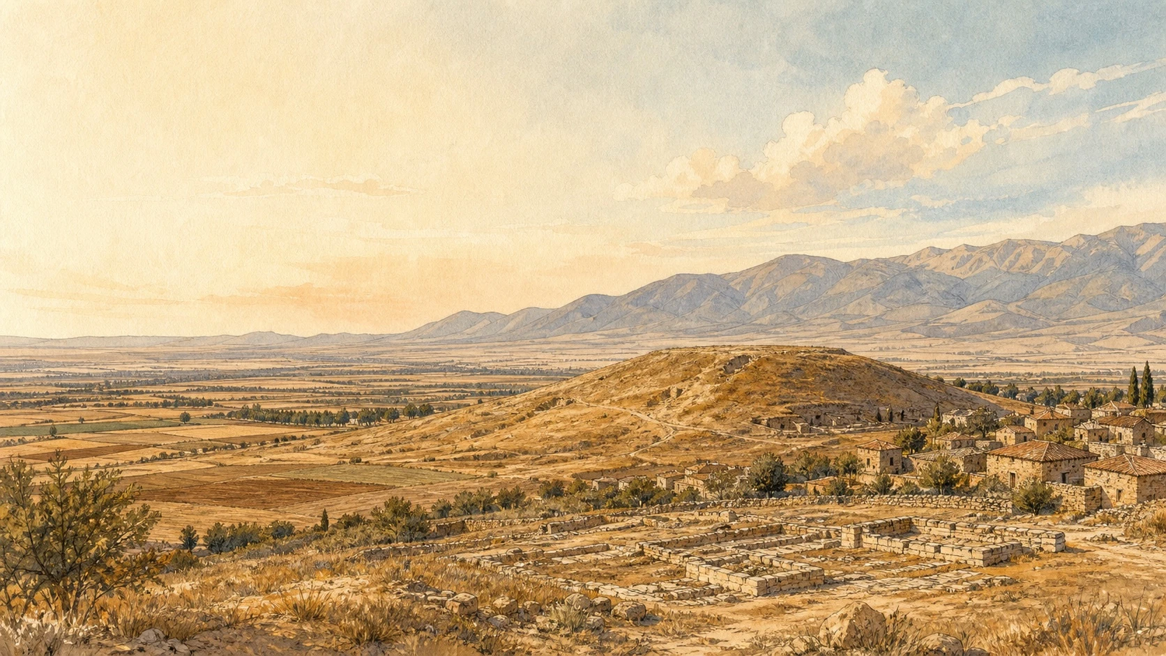
Hatunsaray is a rural settlement that developed under the high-plateau conditions south of Konya. Open terrain, farmland, and the surrounding high ground have shaped both its livelihoods and its spatial character.
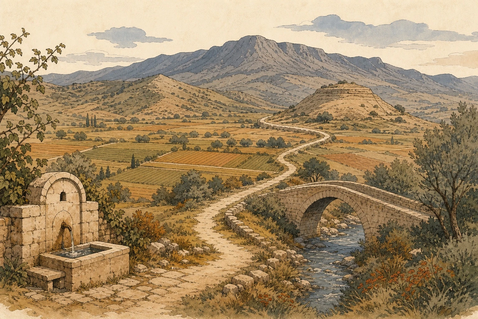
The collection, transport, and sharing of water have been vital in this landscape. Fountains, cisterns, and small bridges are not merely architectural elements; they are shared places around which everyday life has been organised.
Hatunsaray's appearance and memory were formed less by a single historic monument than by the long relationship between environmental conditions and everyday needs.
Water systems used for drinking, irrigation, and washing are among the most visible elements of the settlement's shared heritage.
Fields, gardens, and the seasonal pattern of work determine the rhythm of rural life and the appearance of the landscape.
Lystra's historical significance and the life of today's settlement form different layers of time within the same landscape.
There are differing accounts of the origin of the name Hatunsaray. Rather than presenting undocumented explanations as settled historical fact, it is more appropriate to consider the name in the context of period records and local memory.
This website does not present unverified stories about names, legends, or dates as established fact. Its purpose is to convey Hatunsaray's value through its genuine cultural integrity, rather than through exaggerated claims.
Explore, period by period, the historical framework extending from the earliest settlement traces around Hatunsaray to the present.
Go to the history pageHatunsaray · Lystra.